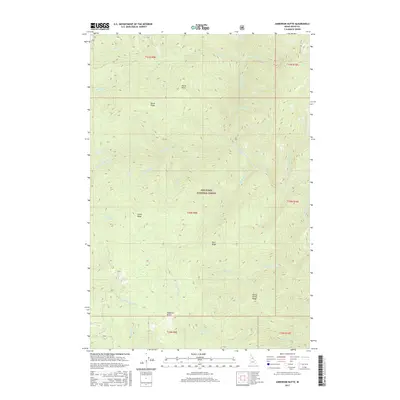
2017 Map of Anderson Butte
USGS Topo · Published 2017About this map
Nez Perce National Forest encompasses this high-altitude landscape in central Idaho, where a complex network of ridges and watercourses defines the terrain. Prominent landmarks such as Anderson Butte and Sheep Drive Ridge rise above the deep drainages of Meadow Creek and the E Fork American River. The map provides a detailed view of the various tributary systems, including Fivemile Cr, Dent Cr, and Horse Cr, which carve through heavily timbered slopes and high points like Horse Point. This 2017 data captures the modern configuration of Forest Service lands, including the path of Indian Hill Rd 290 as it navigates the northern slopes. The area is characterized by its isolation and the dominance of natural features, with very few human-made improvements beyond the forest road system and the township boundaries of T30N and T31N.
Find a feature on this map
35 named features on this map. Tap any name to fly to it.
Don’t see what you’re looking for? This feature index may not catch every label — zoom into the map to look around manually.
Map Details
Editions of this 2017 Anderson Butte Map
This is the sole edition of this map. No revisions or reprints were ever made.
Other maps of this area

1911 · Lolo
USGS Topo · 1:250,000

1913 · Lolo
USGS Topo · 1:250,000

1956 · Elk City
USGS Topo · 1:250,000

1956 · Hamilton
USGS Topo · 1:250,000

1959 · Hamilton
USGS Topo · 1:250,000

1960 · Elk City
USGS Topo · 1:250,000

1960 · Hamilton
USGS Topo · 1:250,000

1964 · Hamilton
USGS Topo · 1:250,000

1966 · Selway Falls
USGS Topo · 1:24,000

1966 · Elk City
USGS Topo · 1:24,000