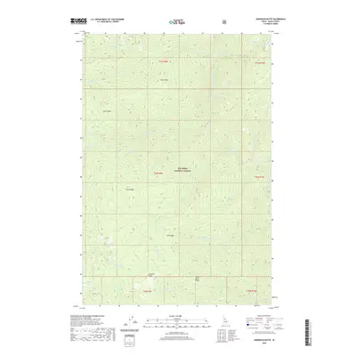
2020 Map of Anderson Butte
USGS Topo · Published 2020About this map
Nez Perce National Forest dominates this Idaho landscape, characterized by a complex network of high ridges and deep drainage basins. The area is defined by massive landforms like Green Ridge and Horse Ridge, which divide numerous seasonal and perennial watercourses. Near the southern boundary, Anderson Butte stands as a primary landmark, overlooking the surrounding Dent Ridge and Sheep Drive Ridge.
Find a feature on this map
36 named features on this map. Tap any name to fly to it.
Don’t see what you’re looking for? This feature index may not catch every label — zoom into the map to look around manually.
Map Details
Editions of this 2020 Anderson Butte Map
This is the sole edition of this map. No revisions or reprints were ever made.
Other maps of this area

1911 · Lolo
USGS Topo · 1:250,000

1913 · Lolo
USGS Topo · 1:250,000

1956 · Elk City
USGS Topo · 1:250,000

1956 · Hamilton
USGS Topo · 1:250,000

1959 · Hamilton
USGS Topo · 1:250,000

1960 · Elk City
USGS Topo · 1:250,000

1960 · Hamilton
USGS Topo · 1:250,000

1964 · Hamilton
USGS Topo · 1:250,000

1966 · Selway Falls
USGS Topo · 1:24,000

1966 · Elk City
USGS Topo · 1:24,000