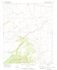
1968 Map of Anderson Canyon
USGS Topo · Published 1971About this map
Anderson Canyon and its many tributary drainages define the character of this Coconino County rangeland in the late 1960s. The landscape is a network of named water sources essential for cattle ranching in this arid environment, featuring family-named infrastructure such as Boyd Reid Tank, Lute Hart Tank, and Casner Tank. The mapping of these specific catchments and wells, including the Courthouse Well and Gorton Dam, provides a detailed view of how the land was managed for livestock during this era. Topographical features like Wagon Box Draw and Jacket Canyon show the natural erosion patterns across the high desert, while larger impoundments like Big Anderson Tank serve as significant landmarks in an otherwise open terrain marked by selective fencing and unimproved ranch roads.
Find a feature on this map
20 named features on this map. Tap any name to fly to it.
Don’t see what you’re looking for? This feature index may not catch every label — zoom into the map to look around manually.
Map Details
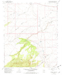
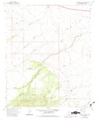
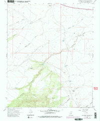
Editions of this 1968 Anderson Canyon Map
4 editions found
Other maps of this area

1886 · San Francisco Mtns
USGS Topo · 1:250,000

1887 · Verde
USGS Topo · 1:250,000

1891 · San Francisco Mtns
USGS Topo · 1:250,000

1892 · Verde
USGS Topo · 1:250,000

1894 · San Francisco Mtns
USGS Topo · 1:250,000

1899 · San Francisco Mtns
USGS Topo · 1:250,000

1947 · Flagstaff
USGS Topo · 1:250,000

1954 · Flagstaff
USGS Topo · 1:250,000

1954 · Holbrook
USGS Topo · 1:250,000

1957 · Holbrook
USGS Topo · 1:250,000