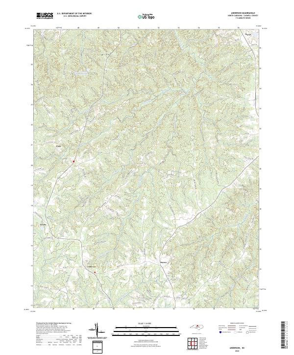
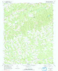
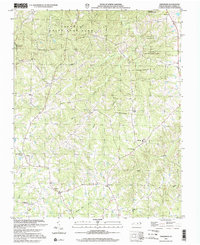
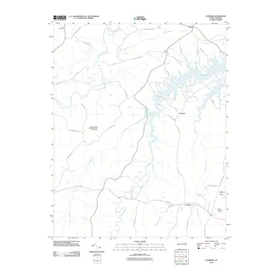
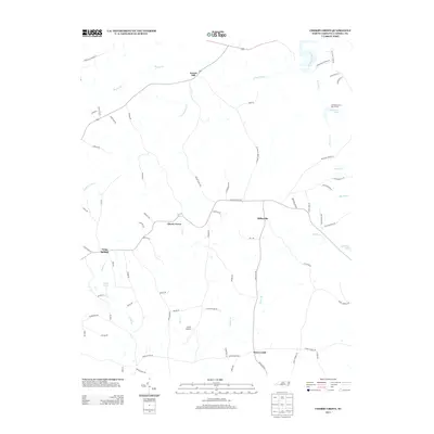
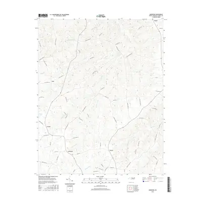
2022 Map of Anderson
USGS Topo · Published 2022About this map
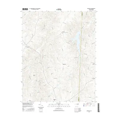
The crossroads of Anderson and Baynes anchor this rural landscape in Caswell County, where the terrain is deeply dissected by a dense network of watercourses including S Country Line Cr and Penson Cr. A significant portion of the northern area is dedicated to the Caswell Wildlife Mgmt Area, featuring the Caswell Wildlife Mgmt Area Pond O, suggesting a region historically focused on timber and game management. Smaller rural settlements like Topnot, Fitch, and Jericho are linked by a complex web of family-named roads such as Marshall Graves Rd and Staley Boswell Rd. The geography, characterized by narrow ridges between creek valleys like Hughes Mill Cr and Byrds Cr, reveals a persistent agricultural and residential pattern that has defined this part of North Carolina for generations.
Find a feature on this map
75 named features on this map. Tap any name to fly to it.
Don’t see what you’re looking for? This feature index may not catch every label — zoom into the map to look around manually.
Map Details
Editions of this 2022 Anderson Map
This is the sole edition of this map. No revisions or reprints were ever made.
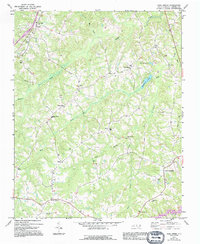
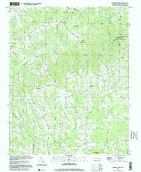
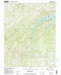
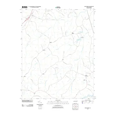
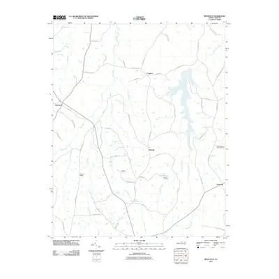
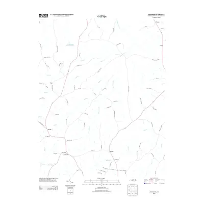
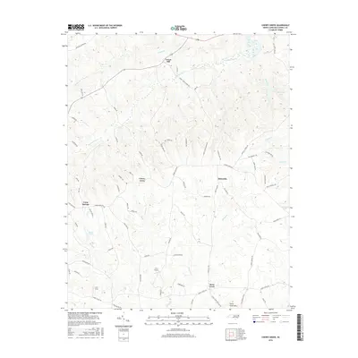
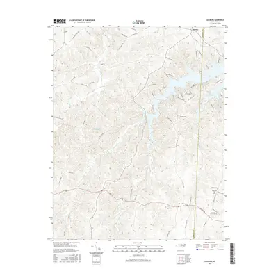
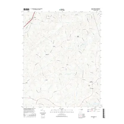
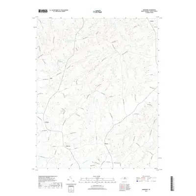
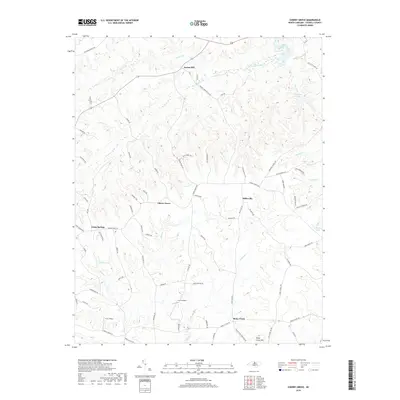
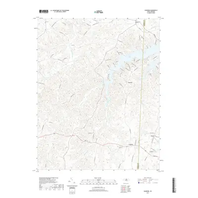
Historical Maps of Fitch Through Time
34 maps found
1968 Leasburg
Caswell County, NC
1968 Ridgeville
Caswell County, NC
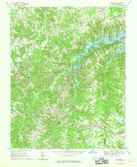
1972 Anderson
Caswell County, NC
1972 Cherry Grove
Caswell County, NC
1972 Park Spring
Caswell County, NC
1997 Cherry Grove
Caswell County, NC
1997 Leasburg
Caswell County, NC
2002 Anderson
Caswell County, NC
2002 Park Spring
Caswell County, NC
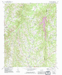
2010 Anderson
Caswell County, NC
2010 Cherry Grove
Caswell County, NC
2010 Leasburg
Caswell County, NC
2010 Park Spring
Caswell County, NC
2010 Ridgeville
Caswell County, NC
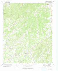
2013 Anderson
Caswell County, NC
2013 Cherry Grove
Caswell County, NC
2013 Leasburg
Caswell County, NC
2013 Park Spring
Caswell County, NC
2013 Ridgeville
Caswell County, NC
2016 Anderson
Caswell County, NC
2016 Cherry Grove
Caswell County, NC
2016 Leasburg
Caswell County, NC
2016 Park Spring
Caswell County, NC
2016 Ridgeville
Caswell County, NC
2019 Anderson
Caswell County, NC
2019 Cherry Grove
Caswell County, NC
2019 Leasburg
Caswell County, NC
2019 Park Spring
Caswell County, NC
2019 Ridgeville
Caswell County, NC
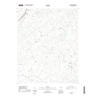
2022 Anderson
Caswell County, NC
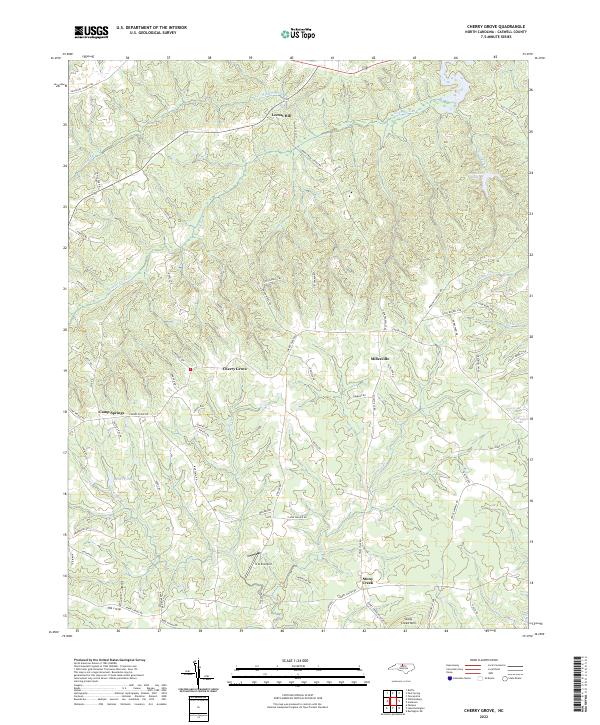
2022 Cherry Grove
Caswell County, NC
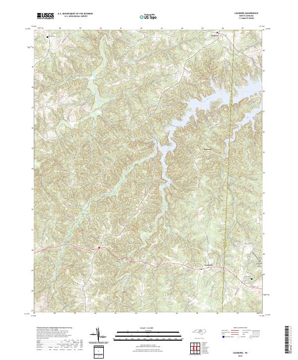
2022 Leasburg
Caswell County, NC
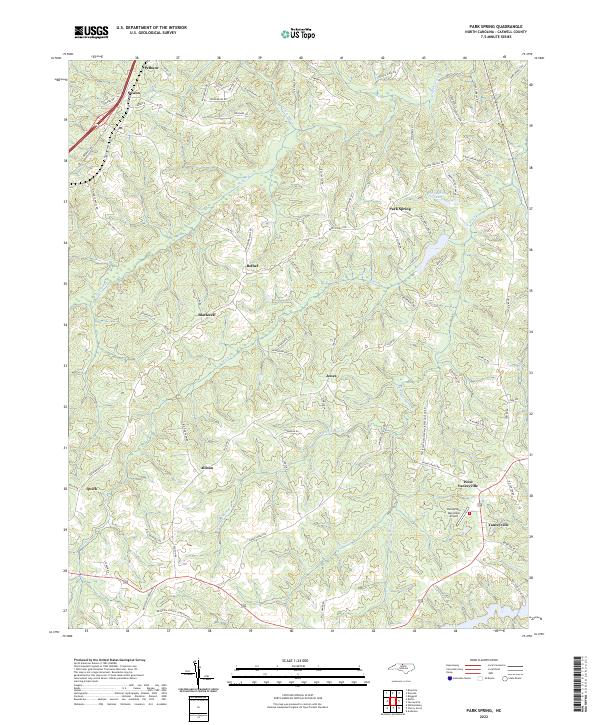
2022 Park Spring
Caswell County, NC
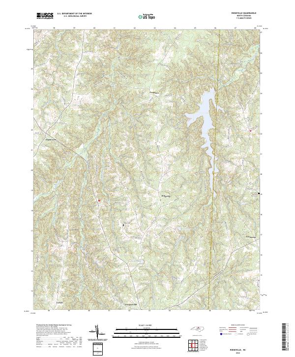
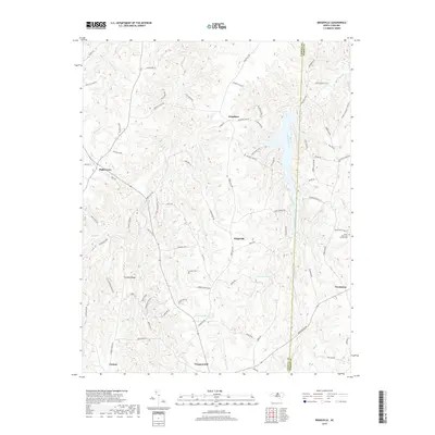
2022 Ridgeville
Caswell County, NC