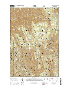
2014 Map of Andies Prairie
USGS Topo · Published 2014About this map
Umatilla National Forest dominates this landscape along the boundary of Umatilla and Union counties, where the high ridges of the Blue Mountains define the drainage patterns of the region. The high-altitude meadows of Horseshoe Prairie and Andies Prairie serve as central landmarks, situated along the path of the Weston-Elgin Hwy. This 2014 survey documents a complex network of forest roads and ridges, such as Ninemile Ridge and Pedro Ridge, which separate the deep incisions of Glenn Canyon and Steele Mill Canyon. The headwaters of the North Fork Umatilla River and Phillips Creek originate here, supported by numerous named springs including English Spring, Odessa Spring, and Portuguese Spring. The map provides a contemporary record of the land use and forest management within these protected federal lands, illustrating the modern infrastructure that overlays the traditional topography of Buck Mountain and Huckleberry Mountain.
Find a feature on this map
42 named features on this map. Tap any name to fly to it.
Don’t see what you’re looking for? This feature index may not catch every label — zoom into the map to look around manually.
Map Details
Editions of this 2014 Andies Prairie Map
This is the sole edition of this map. No revisions or reprints were ever made.
Other maps of this area

1953 · Pendleton
USGS Topo · 1:250,000

1955 · Grangeville
USGS Topo · 1:250,000

1956 · Pendleton
USGS Topo · 1:250,000

1959 · Grangeville
USGS Topo · 1:250,000

1963 · Andies Prairie
USGS Topo · 1:24,000

1963 · Sanderson Spring
USGS Topo · 1:24,000

1963 · Bingham Springs
USGS Topo · 1:24,000

1963 · Tollgate
USGS Topo · 1:24,000

1963 · Blalock Mountain
USGS Topo · 1:24,000

1964 · Partridge Creek
USGS Topo · 1:24,000