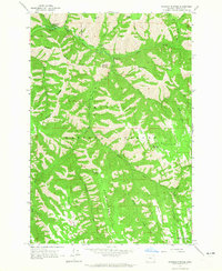
1963 Map of Andies Prairie
USGS Topo · Published 1965About this map
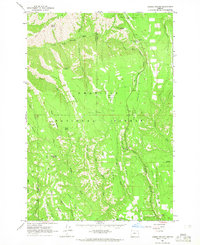
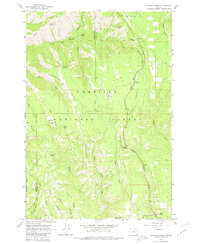
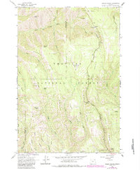
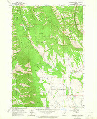
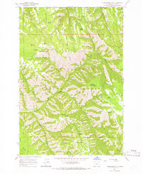
The Umatilla National Forest straddles the boundary between Umatilla and Union counties, defined by a complex network of high ridges and canyon drainages. Early 1960s forest management is evident through the placement of the Lookout Tower on High Ridge and recreational sites like Woodland Park Campground. The landscape is dominated by steep relief, where the North Fork Umatilla River and its tributaries, including Woodward Creek and Johnson Creek, have carved deep into the terrain.
Find a feature on this map
39 named features on this map. Tap any name to fly to it.
Don’t see what you’re looking for? This feature index may not catch every label — zoom into the map to look around manually.
Map Details
Editions of this 1963 Andies Prairie Map
3 editions found
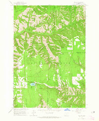
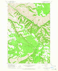
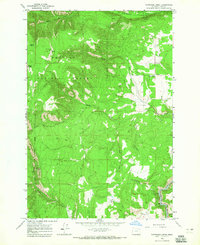
Other maps of this area

1953 · Pendleton
USGS Topo · 1:250,000

1955 · Grangeville
USGS Topo · 1:250,000

1956 · Pendleton
USGS Topo · 1:250,000

1959 · Grangeville
USGS Topo · 1:250,000
1963 · Sanderson Spring
USGS Topo · 1:24,000
1963 · Bingham Springs
USGS Topo · 1:24,000
1963 · Tollgate
USGS Topo · 1:24,000
1963 · Blalock Mountain
USGS Topo · 1:24,000
1964 · Partridge Creek
USGS Topo · 1:24,000
1964 · Thimbleberry Mtn
USGS Topo · 1:24,000