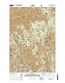
2017 Map of Andies Prairie
USGS Topo · Published 2017About this map
Umatilla National Forest encompasses this section of the Blue Mountains, where the high ridges and deep canyons of Umatilla and Union Counties meet. The landscape is defined by its extensive network of water sources, from the N Fork Umatilla River to numerous family-named and descriptive springs such as English Spring, Will Rogers Spring, and Portuguese Spring. These reliable water points long dictated the movement of livestock and travelers through this high-elevation terrain. Access throughout the forest is provided by a complex system of Forest Service roads and historical paths, including the Umatilla Rim Trail and Skyline Rd. The presence of open areas like Andies Prairie and Horseshoe Prairie breaks the timbered ridges of Ninemile Ridge and Andies Ridge, indicating traditional grazing grounds or meadow openings that remain key landmarks for navigation and local history.
Find a feature on this map
97 named features on this map. Tap any name to fly to it.
Don’t see what you’re looking for? This feature index may not catch every label — zoom into the map to look around manually.
Map Details
Editions of this 2017 Andies Prairie Map
This is the sole edition of this map. No revisions or reprints were ever made.
Other maps of this area

1953 · Pendleton
USGS Topo · 1:250,000

1955 · Grangeville
USGS Topo · 1:250,000

1956 · Pendleton
USGS Topo · 1:250,000

1959 · Grangeville
USGS Topo · 1:250,000

1963 · Andies Prairie
USGS Topo · 1:24,000

1963 · Sanderson Spring
USGS Topo · 1:24,000

1963 · Bingham Springs
USGS Topo · 1:24,000

1963 · Tollgate
USGS Topo · 1:24,000

1963 · Blalock Mountain
USGS Topo · 1:24,000

1964 · Partridge Creek
USGS Topo · 1:24,000