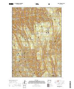
2020 Map of Andies Prairie
USGS Topo · Published 2020About this map
Umatilla National Forest dominates this landscape in the Blue Mountains, where a complex network of ridges and canyons defines the drainage patterns between Umatilla and Union counties. The terrain is marked by high elevations like Buck Mtn and Huckleberry Mtn, separated by deep cuts such as Glenn Canyon and Steele Mill Canyon. Water sources are abundant, with numerous family-named and geographic springs including English Spring, Patusway Spring, and Will Rogers Spring feeding into the N Fork Umatilla River and Phillips Cr. The map reveals a specialized recreation and transit network designed for seasonal use, featuring the Umatilla Rim Trail and several winter-specific routes like the Ridge Rim Loop (Snow) and Viewpoint Cutoff (Snow). Open meadows such as Horseshoe Prairie and Andies Prairie provide distinct breaks in the forested topography of t3n r38e.
Find a feature on this map
55 named features on this map. Tap any name to fly to it.
Don’t see what you’re looking for? This feature index may not catch every label — zoom into the map to look around manually.
Map Details
Editions of this 2020 Andies Prairie Map
This is the sole edition of this map. No revisions or reprints were ever made.
Other maps of this area

1953 · Pendleton
USGS Topo · 1:250,000

1955 · Grangeville
USGS Topo · 1:250,000

1956 · Pendleton
USGS Topo · 1:250,000

1959 · Grangeville
USGS Topo · 1:250,000

1963 · Andies Prairie
USGS Topo · 1:24,000

1963 · Sanderson Spring
USGS Topo · 1:24,000

1963 · Bingham Springs
USGS Topo · 1:24,000

1963 · Tollgate
USGS Topo · 1:24,000

1963 · Blalock Mountain
USGS Topo · 1:24,000

1964 · Partridge Creek
USGS Topo · 1:24,000