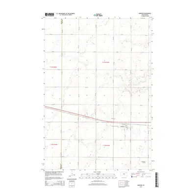
2015 Map of Andover
USGS Topo · Published 2015About this map
Andover sits at the heart of this landscape, positioned where the high ground of the Coteau des Prairies begins its dramatic rise. The settlement layout is defined by a grid of numbered streets and avenues, including the prominent Railroad Ave and Co 41. Local history and genealogy are centered on the community's established landmarks, specifically the Andover Cem and All Saints Catholic Cem located on the western outskirts of the town proper.
Find a feature on this map
30 named features on this map. Tap any name to fly to it.
Don’t see what you’re looking for? This feature index may not catch every label — zoom into the map to look around manually.
Map Details
Editions of this 2015 Andover Map
This is the sole edition of this map. No revisions or reprints were ever made.
Other maps of this area

1895 · Aberdeen
USGS Topo · 1:125,000

1896 · Columbia
USGS Topo · 1:125,000

1952 · Huffton
USGS Topo · 1:24,000

1953 · Milbank
USGS Topo · 1:250,000

1954 · Groton
USGS Topo · 1:24,000

1954 · Ferney
USGS Topo · 1:24,000

1954 · Aberdeen
USGS Topo · 1:250,000

1956 · Aberdeen
USGS Topo · 1:250,000

1958 · Milbank
USGS Topo · 1:250,000

1958 · Andover
USGS Topo · 1:24,000