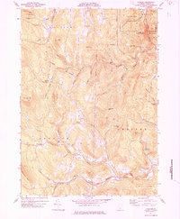
1971 Map of Andover
USGS Topo · Published 1984About this map
Andover and its neighboring villages are defined by the steep elevation of the Green Mountains, where high-country schools like East Hill Sch once served small upland communities. The landscape is carved by the Andover Branch and the Middle Branch Williams River, which meet near small clusters of settlement like Simonsville and Reedville. These valleys provided the primary routes for transit, including the winding path of Lovers Lane Road, while the higher peaks of Terrible Mtn and Markham Mtn remained largely forested or served as state parklands.
Find a feature on this map
52 named features on this map. Tap any name to fly to it.
Don’t see what you’re looking for? This feature index may not catch every label — zoom into the map to look around manually.
Map Details
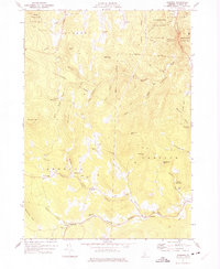
Editions of this 1971 Andover Map
2 editions found
Other maps of this area

1893 · Wallingford
USGS Topo · 1:62,500

1894 · Londonderry
USGS Topo · 1:62,500

1899 · Londonderry
USGS Topo · 1:62,500

1928 · Ludlow
USGS Topo · 1:48,000

1929 · Ludlow
USGS Topo · 1:62,500

1930 · Saxtons River
USGS Topo · 1:48,000

1932 · Ludlow
USGS Topo · 1:62,500

1933 · Saxtons River
USGS Topo · 1:62,500

1950 · Glens Falls
USGS Topo · 1:250,000

1955 · Wallingford
USGS Topo · 1:62,500