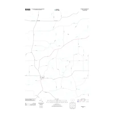
2013 Map of Andrew
USGS Topo · Published 2013About this map
Andrew serves as the central hub of this Jackson County landscape, where the local road network converges at the intersection of 150th St and Main Street. The surrounding terrain is defined by a dense web of waterways, most notably the meandering course of Brush Cr and its tributaries like Jess Br, which carve through the rural countryside. To the north, the small settlement of Cottonville sits along the Bellevue Cascade Rd, reflecting the area's long-standing agricultural and transit patterns. The map detail highlights the transition from upland areas like Hickory Grove to the creek bottoms of Little Mill Cr and Pleasant Cr. Genealogists and local historians can use the precise grid of numbered avenues and named routes, such as Iron Bridge Rd, to pinpoint 21st-century property locations and community landmarks within this portion of eastern Iowa.
Find a feature on this map
51 named features on this map. Tap any name to fly to it.
Don’t see what you’re looking for? This feature index may not catch every label — zoom into the map to look around manually.
Map Details
Editions of this 2013 Andrew Map
This is the sole edition of this map. No revisions or reprints were ever made.
Other maps of this area

1891 · Maquoketa
USGS Topo · 1:62,500

1901 · Peosta
USGS Topo · 1:125,000

1911 · Galena
USGS Topo · 1:62,500

1913 · Galena
USGS Topo · 1:62,500

1935 · East Dubuque
USGS Topo · 1:62,500

1935 · Miles
USGS Topo · 1:62,500

1940 · East Dubuque
USGS Topo · 1:62,500

1941 · Miles
USGS Topo · 1:62,500

1959 · Dubuque
USGS Topo · 1:250,000

1961 · Dubuque
USGS Topo · 1:250,000