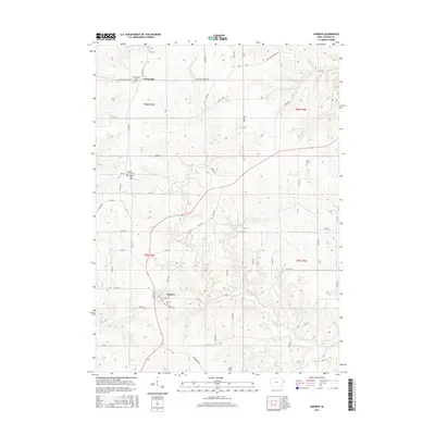
2015 Map of Andrew
USGS Topo · Published 2015About this map
Andrew serves as a central hub in this section of Jackson County, surrounded by a complex network of agricultural land and deeply incised drainage systems. The landscape is defined by the winding paths of Brush Cr and Little Mill Cr, which carve through the terrain toward Dark Hollow in the south. This 2015 survey reveals a high density of small family and community burial sites, including the Dorr Cem and Herrig Cem, which are essential for genealogical research in this rural Iowa township. Notably, the map records the Country Poor Farm Cem and adjacent Jackson County Cem, offering a window into the social history and institutional care of the region. To the north, the small settlement of Cottonville sits along the Bellevue Cascade Rd, illustrating the persistence of early transport corridors in the modern rural landscape.
Find a feature on this map
55 named features on this map. Tap any name to fly to it.
Don’t see what you’re looking for? This feature index may not catch every label — zoom into the map to look around manually.
Map Details
Editions of this 2015 Andrew Map
This is the sole edition of this map. No revisions or reprints were ever made.
Other maps of this area

1891 · Maquoketa
USGS Topo · 1:62,500

1901 · Peosta
USGS Topo · 1:125,000

1911 · Galena
USGS Topo · 1:62,500

1913 · Galena
USGS Topo · 1:62,500

1935 · East Dubuque
USGS Topo · 1:62,500

1935 · Miles
USGS Topo · 1:62,500

1940 · East Dubuque
USGS Topo · 1:62,500

1941 · Miles
USGS Topo · 1:62,500

1959 · Dubuque
USGS Topo · 1:250,000

1961 · Dubuque
USGS Topo · 1:250,000