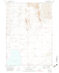
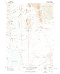
1971 Map of Andrews
USGS Topo · Published 1983About this map
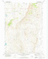
Alvord Valley and the vast Alvord Desert dominate this early 1970s survey of Harney County, Oregon. The map centers on the small settlement of Andrews, situated where Andrews Creek emerges into the flats from the Steens Mountain foothills. The landscape is defined by its water management and sparse ranching outposts, including the Penland Ranch, Serrano Point Ranch, and Kueny Ranch. A Diversion Dam on Wildhorse Creek and numerous flowing wells indicate the vital effort to capture surface runoff and groundwater for agricultural use in this arid basin.
Find a feature on this map
30 named features on this map. Tap any name to fly to it.
Don’t see what you’re looking for? This feature index may not catch every label — zoom into the map to look around manually.
Map Details
Editions of this 1971 Andrews Map
2 editions found
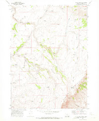
Other maps of this area

1955 · Adel
USGS Topo · 1:250,000

1957 · Adel
USGS Topo · 1:250,000

1958 · Adel
USGS Topo · 1:250,000

1962 · Adel
USGS Topo · 1:250,000
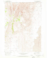
1968 · Alvord Hot Springs
USGS Topo · 1:24,000
1968 · Ankle Creek
USGS Topo · 1:24,000
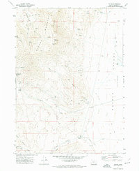
1971 · Andrews
USGS Topo · 1:24,000
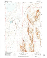
1971 · V Lake
USGS Topo · 1:24,000
1971 · Fields
USGS Topo · 1:24,000
1971 · Borax Lake
USGS Topo · 1:24,000