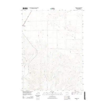
2014 Map of Angora SE
USGS Topo · Published 2014About this map
Angora sits at the northwestern edge of this High Plains landscape, where the Us-385 corridor cuts through the Nebraska panhandle. The terrain is defined by a complex network of seasonal drainages and irrigation infrastructure critical to the region's agricultural life. The Northport Canal winds through the southwestern corner, part of a larger system designed to manage water in this semi-arid environment. Moving across the central and southern portions of the map, the topography is carved by Indian Cr, Upper Dugout Cr, and Bratten Cr. A significant focal point for local water management and recreation is the Linch Reservoir, nestled among the hills east of the main road network. The map reveals a systematic grid of county roads, such as Road 118 and Road 114, which provide access to the remote ranchlands and homesteads of Morrill County.
Find a feature on this map
18 named features on this map. Tap any name to fly to it.
Don’t see what you’re looking for? This feature index may not catch every label — zoom into the map to look around manually.
Map Details
Editions of this 2014 Angora SE Map
This is the sole edition of this map. No revisions or reprints were ever made.
Other maps of this area

1896 · Browns Creek
USGS Topo · 1:125,000

1898 · Camp Clarke
USGS Topo · 1:125,000

1899 · Browns Creek
USGS Topo · 1:125,000

1949 · Lynn
USGS Topo · 1:62,500

1954 · Scottsbluff
USGS Topo · 1:250,000

1958 · Scottsbluff
USGS Topo · 1:250,000

1965 · Bridgeport NW
USGS Topo · 1:24,000

1965 · Angora SE
USGS Topo · 1:24,000

1965 · Broadwater NW
USGS Topo · 1:24,000
1965 · Angora NE
USGS Topo · 1:24,000