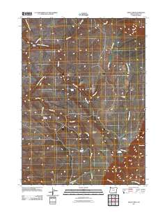
2011 Map of Ankle Creek
USGS Topo · Published 2011About this map
Bill Taber Cabin and the Starbuck Homestead anchor this high-desert landscape in Harney County, illustrating the enduring legacy of ranching and early habitation. The terrain is defined by a network of seasonal drainages and springs that support life in an arid environment, notably the Donner und Blitzen River and the meandering Ankle Creek. Small outposts like Madarieta Cabin sit near Eusabio Ridge, while livestock management is evidenced by the Public Waterhole and numerous named water sources including Joe Huff Spring and Newton Spring. This survey documents a quiet stretch of Oregon where geographic features like Penland Meadow and Scott Corral Creek remain essential landmarks for navigation and land use.
Find a feature on this map
20 named features on this map. Tap any name to fly to it.
Don’t see what you’re looking for? This feature index may not catch every label — zoom into the map to look around manually.
Map Details
Editions of this 2011 Ankle Creek Map
This is the sole edition of this map. No revisions or reprints were ever made.
Other maps of this area

1955 · Adel
USGS Topo · 1:250,000

1957 · Adel
USGS Topo · 1:250,000

1958 · Adel
USGS Topo · 1:250,000

1962 · Adel
USGS Topo · 1:250,000

1968 · Tombstone Canyon
USGS Topo · 1:24,000

1968 · Fish Lake
USGS Topo · 1:24,000

1968 · Wildhorse Lake
USGS Topo · 1:24,000

1968 · Roaring Springs SE
USGS Topo · 1:24,000

1968 · Alvord Hot Springs
USGS Topo · 1:24,000

1968 · Ankle Creek
USGS Topo · 1:24,000