
1968 Map of Fish Lake
USGS Topo · Published 1972About this map
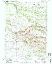
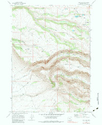
Steens Mtn dominates this high-altitude landscape in Harney County, where the headwaters of the Little Blitzen River and Indian Creek carve through the volcanic plateau. At the time of this 1968 field check, the area served primarily as a recreational and pastoral frontier, evidenced by the Fish Lake Campground and several high-elevation lakes including Fish Lake 7371, Honeymoon Lake, and the aptly named Lost Lake 7442.
Find a feature on this map
30 named features on this map. Tap any name to fly to it.
Don’t see what you’re looking for? This feature index may not catch every label — zoom into the map to look around manually.
Map Details
Editions of this 1968 Fish Lake Map
3 editions found
Other maps of this area

1955 · Adel
USGS Topo · 1:250,000

1957 · Adel
USGS Topo · 1:250,000

1958 · Adel
USGS Topo · 1:250,000

1962 · Adel
USGS Topo · 1:250,000

1967 · Page Springs
USGS Topo · 1:24,000

1968 · Tombstone Canyon
USGS Topo · 1:24,000

1968 · Wildhorse Lake
USGS Topo · 1:24,000

1968 · Big Pasture Creek
USGS Topo · 1:24,000

1968 · Roaring Springs SE
USGS Topo · 1:24,000

1968 · Alvord Hot Springs
USGS Topo · 1:24,000