
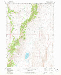
1968 Map of Big Pasture Creek
USGS Topo · Published 1972About this map
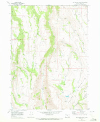
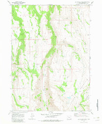
Steens Mountain dominates this high-elevation landscape, where deep glacial-cut features like Kiger Gorge define the drainage patterns of southeastern Oregon. Surveyed in the late 1960s, the map reveals a remote environment primarily utilized for seasonal grazing and back-country access, anchored by Doe Camp in the western reaches. A network of high-desert water sources flows from the peaks, including Cucamonga Creek, Horton Creek, and the uniquely named Hole in the Ground Creek. Human presence is minimal, recorded only through an intricate system of a Jeep Trail, Trail, and Pack Trail that follow the natural contours of the ridges and creek beds. This document captures the stark hydrological network of the Big Pasture Creek area before modern recreation patterns altered the primary usage of these traditional range lands.
Find a feature on this map
19 named features on this map. Tap any name to fly to it.
Don’t see what you’re looking for? This feature index may not catch every label — zoom into the map to look around manually.
Map Details
Editions of this 1968 Big Pasture Creek Map
3 editions found
Other maps of this area

1955 · Adel
USGS Topo · 1:250,000

1957 · Adel
USGS Topo · 1:250,000

1958 · Adel
USGS Topo · 1:250,000

1962 · Adel
USGS Topo · 1:250,000

1968 · Poison Springs
USGS Topo · 1:24,000

1968 · Fish Lake
USGS Topo · 1:24,000

1968 · Wildhorse Lake
USGS Topo · 1:24,000
1968 · Krumbo Ridge
USGS Topo · 1:24,000
1968 · Mc Coy Ridge
USGS Topo · 1:24,000
1981 · Mann Lake
USGS Topo · 1:24,000