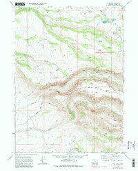
1968 Map of Fish Lake
USGS Topo · Published 1984About this map
Steens Mtn dominates this high-altitude landscape of Harney County, where glacial carvings created a complex network of canyons and high-desert water sources. In the late 1960s, this area remained largely primitive, navigated primarily by a Jeep Trail system and the Loop road. The presence of Newton Cabin in the southern reaches of Indian Creek suggests early cattle ranching or seasonal outpost activity, while the established Fish Lake Campground marks the mid-century transition toward recreational use of these alpine resources. Hydrological features are densely concentrated here, from the headwaters of the Little Blitzen River to smaller, humorously named landmarks like Naughty Girl Meadow and Honeymoon Lake. The map records a rugged environment where seasonal drainages like Dry Creek and Mud Springs Creek underscore the importance of permanent water at Fish Lake and Pate Lake.
Find a feature on this map
30 named features on this map. Tap any name to fly to it.
Don’t see what you’re looking for? This feature index may not catch every label — zoom into the map to look around manually.
Map Details
Editions of this 1968 Fish Lake Map
3 editions found
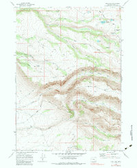
Other maps of this area

1955 · Adel
USGS Topo · 1:250,000

1957 · Adel
USGS Topo · 1:250,000

1958 · Adel
USGS Topo · 1:250,000

1962 · Adel
USGS Topo · 1:250,000

1967 · Page Springs
USGS Topo · 1:24,000

1968 · Tombstone Canyon
USGS Topo · 1:24,000

1968 · Fish Lake
USGS Topo · 1:24,000

1968 · Wildhorse Lake
USGS Topo · 1:24,000

1968 · Big Pasture Creek
USGS Topo · 1:24,000

1968 · Roaring Springs SE
USGS Topo · 1:24,000