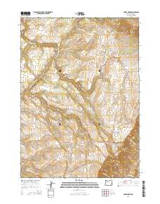
2014 Map of Ankle Creek
USGS Topo · Published 2014About this map
Steens Mtn dominates the eastern reaches of this high-desert landscape in Harney County, where the terrain drops sharply toward the drainage of the Donner und Blitzen River. This 2014 survey records a remote segment of the Oregon backcountry defined by complex hydrologic features and steep elevation changes. A network of perennial and seasonal water sources, including the Deppy Cr Public Waterhole and named springs such as Joe Huff Spring and Newton Spring, illustrates the critical importance of water management in this arid environment.
Find a feature on this map
23 named features on this map. Tap any name to fly to it.
Don’t see what you’re looking for? This feature index may not catch every label — zoom into the map to look around manually.
Map Details
Editions of this 2014 Ankle Creek Map
This is the sole edition of this map. No revisions or reprints were ever made.
Other maps of this area

1955 · Adel
USGS Topo · 1:250,000

1957 · Adel
USGS Topo · 1:250,000

1958 · Adel
USGS Topo · 1:250,000

1962 · Adel
USGS Topo · 1:250,000

1968 · Tombstone Canyon
USGS Topo · 1:24,000

1968 · Fish Lake
USGS Topo · 1:24,000

1968 · Wildhorse Lake
USGS Topo · 1:24,000

1968 · Roaring Springs SE
USGS Topo · 1:24,000

1968 · Alvord Hot Springs
USGS Topo · 1:24,000

1968 · Ankle Creek
USGS Topo · 1:24,000