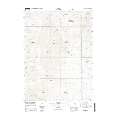
2014 Map of Annie Creek
USGS Topo · Published 2014About this map
Charleston serves as the primary landmark in this high-altitude landscape of northeast Nevada, situated at the confluence of several watercourses including Seventysix Cr and the Bruneau River. The terrain is defined by dramatic elevation changes, moving from the heights of the Copper Mountains and the Fox Creek Range down into the deep incisions of Bruneau Canyon and Miles Canyon.
Find a feature on this map
43 named features on this map. Tap any name to fly to it.
Don’t see what you’re looking for? This feature index may not catch every label — zoom into the map to look around manually.
Map Details
Editions of this 2014 Annie Creek Map
This is the sole edition of this map. No revisions or reprints were ever made.
Other maps of this area

1935 · Charleston
USGS Topo · 1:48,000

1936 · Rowland
USGS Topo · 1:48,000

1940 · Rowland
USGS Topo · 1:62,500

1942 · Mt. Velma
USGS Topo · 1:62,500

1943 · Jarbidge
USGS Topo · 1:62,500

1945 · Jarbidge
USGS Topo · 1:62,500

1955 · Wells
USGS Topo · 1:250,000

1958 · Wells
USGS Topo · 1:250,000

1961 · Wells
USGS Topo · 1:250,000

1968 · Charleston Reservoir
USGS Topo · 1:24,000