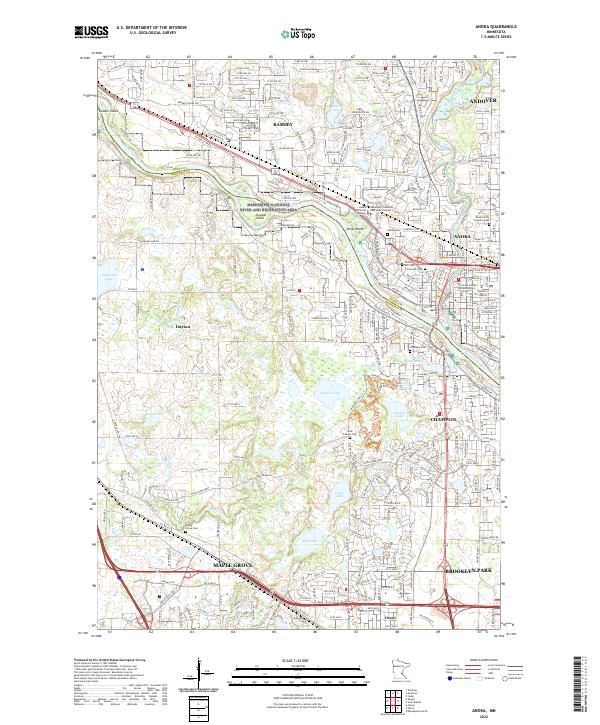
2022 Map of Anoka
USGS Topo · Published 2022About this map
The Mississippi River and its confluence with the Rum River define the layout of this regional hub, where the city of Anoka serves as a focal point at the junction of Anoka and Hennepin counties. The landscape is marked by a high density of civic and commemorative sites, including the Anoka County Government Center and several historical burial grounds such as Forest Hill Cem and the Anoka State Hospital Cem.
Find a feature on this map
60 named features on this map. Tap any name to fly to it.
Don’t see what you’re looking for? This feature index may not catch every label — zoom into the map to look around manually.
Map Details
Editions of this 2022 Anoka Map
This is the sole edition of this map. No revisions or reprints were ever made.
Other maps of this area

1902 · Anoka
USGS Topo · 1:62,500

1909 · Rockford
USGS Topo · 1:62,500

1916 · St. Francis
USGS Topo · 1:62,500

1919 · St. Francis
USGS Topo · 1:62,500

1952 · Minneapolis North
USGS Topo · 1:24,000

1953 · Stillwater
USGS Topo · 1:250,000

1955 · Osseo
USGS Topo · 1:24,000

1955 · Anoka
USGS Topo · 1:24,000

1955 · Coon Rapids
USGS Topo · 1:24,000

1955 · Anoka
USGS Topo · 1:62,500