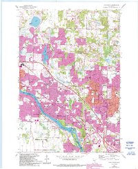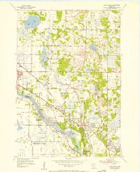
1955 Map of Coon Rapids
USGS Topo · Published 1956About this map
The Mississippi River corridor defines this mid-1950s landscape, serving as a natural boundary between Anoka and Hennepin counties. This era reveals a suburban transition at the north end of the Twin Cities, where the growing Coon Rapids and Brooklyn Park areas meet the more rural townships of Grow and Ham Lake. The infrastructure of the period is prominent, anchored by the Coon Rapids Dam and the industrial backbone of the Great Northern and Northern Pacific railroads. Local community life is rooted in landmarks like the Coon Rapids Church, St. Timothy School, and the Village Hall. Notable communication history is marked by the WCCO Radio Tower, while natural features such as Crooked Lake, Bunker Lake, and the winding Coon Creek provide a distinct contrast to the emerging residential street grids.
Find a feature on this map
28 named features on this map. Tap any name to fly to it.
Don’t see what you’re looking for? This feature index may not catch every label — zoom into the map to look around manually.
Map Details
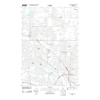
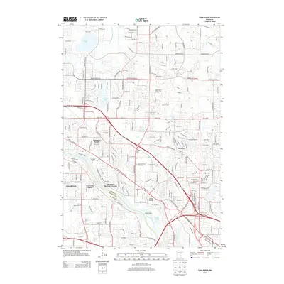
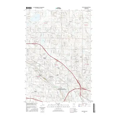
Editions of this 1955 Coon Rapids Map
This is the sole edition of this map. No revisions or reprints were ever made.
Historical Maps of Brooklyn Park Through Time
7 maps found