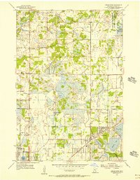
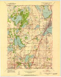
1955 Map of Circle Pines
USGS Topo · Published 1956About this map
Blaine and Circle Pines serve as the primary hubs in this mid-1950s depiction of southern Anoka County, a landscape defined by an extensive network of wetlands and small lakes. The area exhibits early suburban organization through features like the Anoka County Airport and the Fair Oaks Community Hall. Rural history remains visible in the distribution of schoolhouses, such as the Red Brick Sch and Woodcrest Sch, alongside established religious landmarks like St Joseph Ch in Lino Lakes.
Find a feature on this map
26 named features on this map. Tap any name to fly to it.
Don’t see what you’re looking for? This feature index may not catch every label — zoom into the map to look around manually.
Map Details
Editions of this 1955 Circle Pines Map
This is the sole edition of this map. No revisions or reprints were ever made.
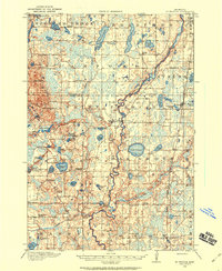
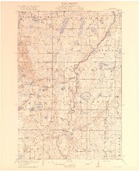
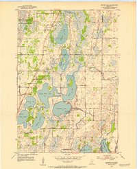
Other maps of this area

1902 · White Bear
USGS Topo · 1:62,500

1902 · Anoka
USGS Topo · 1:62,500
1916 · St. Francis
USGS Topo · 1:62,500
1919 · St. Francis
USGS Topo · 1:62,500
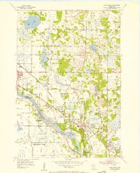
1952 · Centerville
USGS Topo · 1:24,000
1952 · White Bear Lake West
USGS Topo · 1:24,000
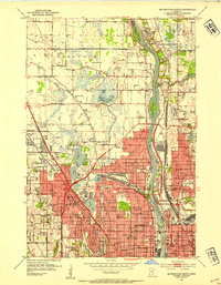
1952 · Minneapolis North
USGS Topo · 1:24,000

1952 · New Brighton
USGS Topo · 1:24,000

1953 · Stillwater
USGS Topo · 1:250,000
1955 · Coon Rapids
USGS Topo · 1:24,000