
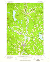
1955 Map of Anson
USGS Topo · Published 1957About this map
The Kennebec River corridor defines this mid-century landscape, serving as the central artery for the industrial and residential centers of Madison and Anson. The river's path is punctuated by large features like Savage Island and Weston Island, while the Maine Central Railroad traces the western bank through North Anson. This era shows a well-established network of rural crossroads such as Blackwell Corner, Barron Corner, and Five Corners, each representing the localized nodes of 1950s Maine life.
Find a feature on this map
112 named features on this map. Tap any name to fly to it.
Don’t see what you’re looking for? This feature index may not catch every label — zoom into the map to look around manually.
Map Details
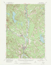
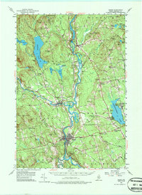
Editions of this 1955 Anson Map
4 editions found
Other maps of this area

1892 · Waterville
USGS Topo · 1:62,500

1894 · Norridgewock
USGS Topo · 1:62,500

1898 · Norridgewock
USGS Topo · 1:62,500

1903 · Bingham
USGS Topo · 1:62,500

1904 · Anson
USGS Topo · 1:62,500

1905 · Bingham
USGS Topo · 1:62,500

1913 · Skowhegan
USGS Topo · 1:62,500

1924 · Farmington
USGS Topo · 1:62,500

1928 · Dead River
USGS Topo · 1:62,500

1930 · Kingfield
USGS Topo · 1:48,000