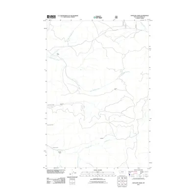
2011 Map of Antelope Creek
USGS Topo · Published 2011About this map
Corral serves as a focal point in this Granite County landscape, where the drainage of Antelope Creek and its southern fork carve through the high country. The area is defined by its deep-rooted extractive history, evidenced by a cluster of named mining operations including the Hawkeye Mine and the Shakesphere Mine. These sites, alongside the Russian Smith Mine, highlight the industrial character of this Montana territory in the early 21st century. Natural features like Wildcat Gulch and Trail Gulch provide a sense of the varied terrain, while Rock Creek Rd and several unnamed trails represent the limited transportation network connecting these remote sites. The map also records specialized locations such as the Lori Number 13 Mine, offering specific data points for those researching the region's modern mining footprint.
Find a feature on this map
15 named features on this map. Tap any name to fly to it.
Don’t see what you’re looking for? This feature index may not catch every label — zoom into the map to look around manually.
Map Details
Editions of this 2011 Antelope Creek Map
This is the sole edition of this map. No revisions or reprints were ever made.
Other maps of this area

1908 · Philipsburg
USGS Topo · 1:125,000

1909 · Sapphire
USGS Topo · 1:125,000

1947 · Butte
USGS Topo · 1:250,000

1958 · Butte
USGS Topo · 1:250,000

1960 · Butte
USGS Topo · 1:250,000

1962 · Butte
USGS Topo · 1:250,000

1971 · Henderson Mountain
USGS Topo · 1:24,000

1971 · Georgetown Lake
USGS Topo · 1:24,000

1971 · Antelope Creek
USGS Topo · 1:24,000

1971 · Potato Lakes
USGS Topo · 1:24,000