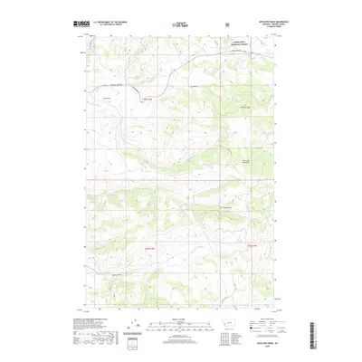
2020 Map of Antelope Creek
USGS Topo · Published 2020About this map
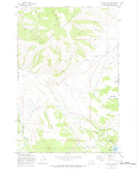
Deerlodge National Forest covers much of this high-country landscape in Granite County, Montana, where the steep terrain of the John Long Mountains is carved by a complex network of seasonal and perennial drainages. The map reveals a remote geography defined by winding routes like Rock Creek Rd and Marshall Creek Rd, which follow the natural contours of the valley floors. Water is the primary architect of the land here, with Antelope Creek and its tributary, S Fork Antelope Creek, cutting through the southern half of the quadrangle. To the north, N Fork Spring Creek and S Fork Spring Creek drain the slopes near Trail Gulch. The presence of names like Sluice Gulch and Wildcat Gulch suggests a history of prospectors or early pioneers moving through these mountain draws.
Find a feature on this map
21 named features on this map. Tap any name to fly to it.
Don’t see what you’re looking for? This feature index may not catch every label — zoom into the map to look around manually.
Map Details
Editions of this 2020 Antelope Creek Map
This is the sole edition of this map. No revisions or reprints were ever made.
Other maps of this area
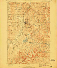
1908 · Philipsburg
USGS Topo · 1:125,000
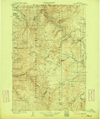
1909 · Sapphire
USGS Topo · 1:125,000

1947 · Butte
USGS Topo · 1:250,000

1958 · Butte
USGS Topo · 1:250,000
1960 · Butte
USGS Topo · 1:250,000
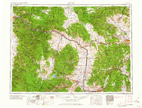
1962 · Butte
USGS Topo · 1:250,000
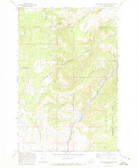
1971 · Henderson Mountain
USGS Topo · 1:24,000
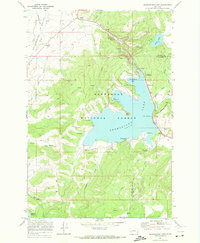
1971 · Georgetown Lake
USGS Topo · 1:24,000
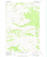
1971 · Antelope Creek
USGS Topo · 1:24,000
1971 · Potato Lakes
USGS Topo · 1:24,000