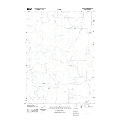
2012 Map of Antelope Draw
USGS Topo · Published 2012About this map
The rolling grasslands of Johnson County are defined by a complex network of seasonal drainages in this 2012 survey. Centered on Antelope Draw, the landscape is a patchwork of ranching infrastructure and intermittent waterways like N Fork Ninemile Cr and Little W Fork Trabing Dry Cr. These features illustrate the vital relationship between the arid high plains terrain and the water management necessary for livestock operations, exemplified by the presence of Crain Ranch in the northeast.
Find a feature on this map
13 named features on this map. Tap any name to fly to it.
Don’t see what you’re looking for? This feature index may not catch every label — zoom into the map to look around manually.
Map Details
Editions of this 2012 Antelope Draw Map
This is the sole edition of this map. No revisions or reprints were ever made.
Other maps of this area

1900 · Fort McKinney
USGS Topo · 1:125,000

1903 · Fort McKinney
USGS Topo · 1:125,000

1955 · Sheridan
USGS Topo · 1:250,000

1955 · Arminto
USGS Topo · 1:250,000

1958 · Sheridan
USGS Topo · 1:250,000

1958 · Arminto
USGS Topo · 1:250,000

1961 · Fourmile Reservoir
USGS Topo · 1:24,000

1961 · Dry Creek Reservoir
USGS Topo · 1:24,000

1961 · Antelope Draw
USGS Topo · 1:24,000

1961 · Schlict Draw
USGS Topo · 1:24,000