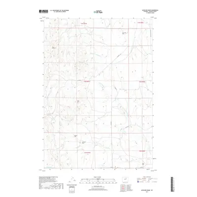
2017 Map of Antelope Draw
USGS Topo · Published 2017About this map
Antelope Draw characterizes this stretch of the High Plains in southern Johnson County, where the drainage patterns of the Ninemile Cr watershed dictate the local geography. The landscape is defined by a series of named coulees and basins, including Dry Creek Basin and Cathers Draw, which descend from high points like Reno Hill. This modern survey illustrates the persistent ranching infrastructure of the region, specifically marking the Stock Trail (Reservoir Number 4) alongside a sparse network of county thoroughfares. Transportation through this open country is limited to a few arterial routes such as Buffalo Sussex Cutoff Rd and Reno Rd, reflecting the remote, agrarian character of the terrain. The map provides a precise look at how the N Fork Ninemile Cr and its tributaries carve through the townships and ranges of this rural Wyoming landscape.
Find a feature on this map
21 named features on this map. Tap any name to fly to it.
Don’t see what you’re looking for? This feature index may not catch every label — zoom into the map to look around manually.
Map Details
Editions of this 2017 Antelope Draw Map
This is the sole edition of this map. No revisions or reprints were ever made.
Other maps of this area

1900 · Fort McKinney
USGS Topo · 1:125,000

1903 · Fort McKinney
USGS Topo · 1:125,000

1955 · Sheridan
USGS Topo · 1:250,000

1955 · Arminto
USGS Topo · 1:250,000

1958 · Sheridan
USGS Topo · 1:250,000

1958 · Arminto
USGS Topo · 1:250,000

1961 · Fourmile Reservoir
USGS Topo · 1:24,000

1961 · Dry Creek Reservoir
USGS Topo · 1:24,000

1961 · Antelope Draw
USGS Topo · 1:24,000

1961 · Schlict Draw
USGS Topo · 1:24,000