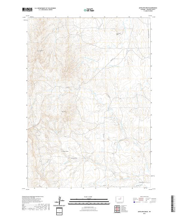
2021 Map of Antelope Draw
USGS Topo · Published 2021About this map
Reno Hill rises as a central landmark in this Johnson County landscape, characterized by a complex network of seasonal drainages and high plains topography. The drainage pattern is defined by the Ninemile Cr and its northern fork, alongside the dry-bed systems of W Fork Trabing Dry Cr and the Little W Fork Trabing Dry Cr. This area of Wyoming shows a sparse, functional road network suitable for the ranching and resource management typical of the region, including Klunder Rd and the Buffalo Sussex Cutoff Rd. The terrain is marked by numerous draws such as Cathers Draw and Antelope Draw, while the Dry Creek Basin occupies the northeastern reaches. These named geographic features reflect a landscape where water management and topography have long dictated land use and travel routes.
Find a feature on this map
20 named features on this map. Tap any name to fly to it.
Don’t see what you’re looking for? This feature index may not catch every label — zoom into the map to look around manually.
Map Details
Editions of this 2021 Antelope Draw Map
This is the sole edition of this map. No revisions or reprints were ever made.
Other maps of this area

1900 · Fort McKinney
USGS Topo · 1:125,000

1903 · Fort McKinney
USGS Topo · 1:125,000

1955 · Sheridan
USGS Topo · 1:250,000

1955 · Arminto
USGS Topo · 1:250,000

1958 · Sheridan
USGS Topo · 1:250,000

1958 · Arminto
USGS Topo · 1:250,000

1961 · Fourmile Reservoir
USGS Topo · 1:24,000

1961 · Dry Creek Reservoir
USGS Topo · 1:24,000

1961 · Antelope Draw
USGS Topo · 1:24,000

1961 · Schlict Draw
USGS Topo · 1:24,000