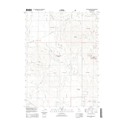
2015 Map of Antelope Mountain
USGS Topo · Published 2015About this map
Antelope Mountain dominates the high-country landscape of this 2015 survey, situated within the heart of the Lassen National Forest. This high-altitude terrain is characterized by a network of seasonal watercourses and notable flats that served historically as open areas within the dense timber. Significant mountain peaks including Campbell Mtn and Fox Mtn define the local topography, while lower-lying features like Big Merrill Flat and Norvell Flat suggest the area's use for summer grazing or forestry staging. The map traces early transportation and access routes through the forest, notably Champs Flat Road and Merrill Flat Rd. Water sources are vital markers in this landscape, with Martin Springs, Willow Spring, and the isolated Mud Lake providing essential points of interest for those studying the environmental and agricultural history of this corner of Lassen County.
Find a feature on this map
22 named features on this map. Tap any name to fly to it.
Don’t see what you’re looking for? This feature index may not catch every label — zoom into the map to look around manually.
Map Details
Editions of this 2015 Antelope Mountain Map
This is the sole edition of this map. No revisions or reprints were ever made.
Other maps of this area

1886 · Honey Lake
USGS Topo · 1:250,000

1886 · Lassen Peak
USGS Topo · 1:250,000

1891 · Honey Lake
USGS Topo · 1:250,000

1892 · Lassen Peak
USGS Topo · 1:250,000

1893 · Honey Lake
USGS Topo · 1:250,000

1894 · Lassen Peak
USGS Topo · 1:250,000

1939 · Halls Flat
USGS Topo · 1:125,000

1955 · Westwood
USGS Topo · 1:62,500

1955 · Westwood
USGS Topo · 1:250,000

1956 · Chester
USGS Topo · 1:62,500