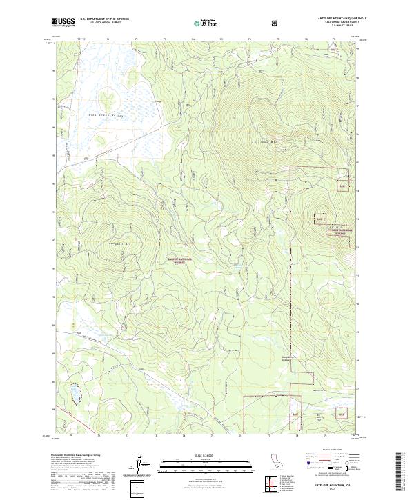
2022 Map of Antelope Mountain
USGS Topo · Published 2022About this map
Lassen National Forest terrain dominates this high-altitude landscape, where several prominent peaks and meadows define the topography. At the summit of Antelope Mountain, the Antelope Mtn Lookout stands as a focal point for fire surveillance, while Campbell Mountain rises to the southwest. The area is characterized by seasonal water systems and sprawling open spaces such as Sheep Camp Meadow and Big Merrill Flat.
Find a feature on this map
28 named features on this map. Tap any name to fly to it.
Don’t see what you’re looking for? This feature index may not catch every label — zoom into the map to look around manually.
Map Details
Editions of this 2022 Antelope Mountain Map
This is the sole edition of this map. No revisions or reprints were ever made.
Other maps of this area

1886 · Honey Lake
USGS Topo · 1:250,000

1886 · Lassen Peak
USGS Topo · 1:250,000

1891 · Honey Lake
USGS Topo · 1:250,000

1892 · Lassen Peak
USGS Topo · 1:250,000

1893 · Honey Lake
USGS Topo · 1:250,000

1894 · Lassen Peak
USGS Topo · 1:250,000

1939 · Halls Flat
USGS Topo · 1:125,000

1955 · Westwood
USGS Topo · 1:62,500

1955 · Westwood
USGS Topo · 1:250,000

1956 · Chester
USGS Topo · 1:62,500