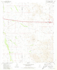
1981 Map of Antelope Peak
USGS Topo · Published 1981About this map
Antelope Peak stands as the central landmark in this desert landscape, where the Table Top Mountains meet the sweeping expanse of the Vekol Valley. The 1981 survey documents the intersection of modern transit and traditional desert features, showing the Hidden Valley Interchange along Route 8 near a lonely Corral. Seasonal drainage patterns are clearly defined by the paths of Vekol Wash and Antelope Wash, which dictate the local topography. Evidence of resource exploration and infrastructure appears in the form of several Borrow Pit sites, a Gravel Pit, and a remote Prospect located on the eastern slopes of the mountains. This map also preserves the administrative boundary between Maricopa and Pinal counties, providing a detailed view of the terrain before later regional development altered the character of this high-desert corridor.
Find a feature on this map
16 named features on this map. Tap any name to fly to it.
Don’t see what you’re looking for? This feature index may not catch every label — zoom into the map to look around manually.
Map Details
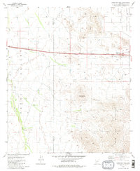
Editions of this 1981 Antelope Peak Map
2 editions found
Other maps of this area

1941 · Vekol Mountains
USGS Topo · 1:62,500

1942 · Vekol Mountains
USGS Topo · 1:62,500

1946 · Antelope Peak
USGS Topo · 1:62,500

1948 · Antelope Peak
USGS Topo · 1:62,500

1951 · Estrella
USGS Topo · 1:62,500

1953 · Ajo
USGS Topo · 1:250,000

1957 · Ajo
USGS Topo · 1:250,000

1958 · Ajo
USGS Topo · 1:250,000

1958 · Kaka
USGS Topo · 1:62,500

1962 · Ajo
USGS Topo · 1:250,000