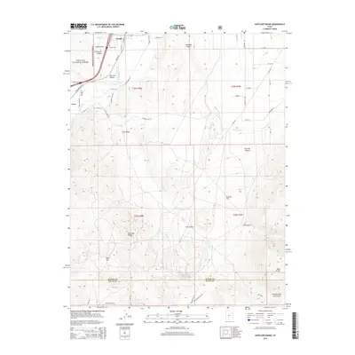
2014 Map of Antelope Range
USGS Topo · Published 2014About this map
Joseph and Cove anchor the northern reaches of this landscape, where the Sevier River and Sevier Valley Canal cut through the valley floor. The map records the transition from the irrigated agricultural lands of Joseph Flats to the high, broken terrain of the Antelope Range and Fishlake National Forest. Local history is preserved in the location of the Joseph Cem and Sevier Cem, while industrial activity is noted at the VCA Mine and along the Iron Cap Mine Rd. The irrigation network, including the Bertlesen Ditch, illustrates the complex water management required for settlement in this part of Sevier County. Further south, the terrain becomes increasingly complex, moving through Antelope Valley and Long Valley toward the high points of the Bald Knolls near the boundary of Piute County.
Find a feature on this map
55 named features on this map. Tap any name to fly to it.
Don’t see what you’re looking for? This feature index may not catch every label — zoom into the map to look around manually.
Map Details
Editions of this 2014 Antelope Range Map
This is the sole edition of this map. No revisions or reprints were ever made.
Other maps of this area

1885 · Beaver
USGS Topo · 1:250,000

1932 · Sevier
USGS Topo · 1:62,500

1935 · Sevier
USGS Topo · 1:62,500

1937 · Delano Peak
USGS Topo · 1:48,000

1940 · Monroe
USGS Topo · 1:62,500

1943 · Delano Peak
USGS Topo · 1:62,500

1944 · Monroe
USGS Topo · 1:62,500

1945 · Marysvale
USGS Topo · 1:62,500

1947 · Marysvale
USGS Topo · 1:62,500

1953 · Richfield
USGS Topo · 1:250,000