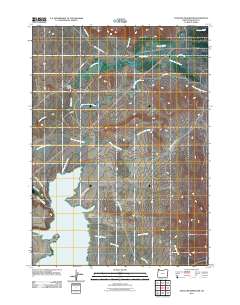
2011 Map of Antelope Reservoir
USGS Topo · Published 2011About this map
Antelope Reservoir dominates the high desert terrain of southern Malheur County, serving as a critical water management hub for this corner of Oregon. The landscape is defined by an intricate network of irrigation infrastructure, including the Antelope Feeder Canal, the North Antelope Canal, and the South Antelope Canal. These systems draw from and feed into Jordan Creek, supporting the ranching and agricultural interests centered around the settlement of Jordan Valley. The map reveals the relationship between water and land use on the broad Antelope Flat, where several named watercourses like Sheep Spring Creek and Cantor Creek converge. A network of rural routes, such as Danner Rd and Antelope Reservoir Rd, provides access to the remote backcountry and the grazing lands that characterize this southeastern Oregon environment.
Find a feature on this map
19 named features on this map. Tap any name to fly to it.
Don’t see what you’re looking for? This feature index may not catch every label — zoom into the map to look around manually.
Map Details
Editions of this 2011 Antelope Reservoir Map
This is the sole edition of this map. No revisions or reprints were ever made.
Other maps of this area

1955 · Jordan Valley
USGS Topo · 1:250,000

1955 · Boise
USGS Topo · 1:250,000

1957 · Jordan Valley
USGS Topo · 1:250,000

1958 · Boise
USGS Topo · 1:250,000

1958 · Jordan Valley
USGS Topo · 1:250,000

1962 · Boise
USGS Topo · 1:250,000
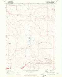
1969 · Little Grassy Mountain
USGS Topo · 1:24,000
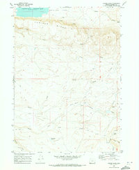
1969 · Juniper Ridge
USGS Topo · 1:24,000
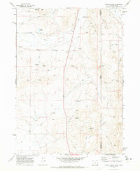
1969 · Hooker Creek
USGS Topo · 1:24,000

1969 · Cow Lakes
USGS Topo · 1:24,000