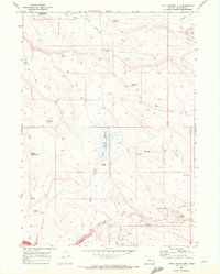
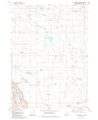
1969 Map of Little Grassy Mountain
USGS Topo · Published 1972About this map
Swisher Ranch serves as a lone marker of human habitation in this high-desert reach of Malheur County at the end of the 1960s. The landscape is defined by a critical network of water management, featuring names like Little Grassy Reservoir, Rock Creek Reservoir, and Plateau Reservoir, which were essential for supporting livestock in this arid environment. The topography is anchored by Little Grassy Mtn and the distinct geological features of Black Butte and the curious depression known as Hole in Ground. Numerous Jeep Trails and unnamed trails crisscross the terrain, suggesting a reliance on seasonal access for ranching operations. To the south, the deep relief of Owyhee Canyon begins to emerge, while Juniper Ridge and Soldier Creek dominate the eastern and southern drainage patterns of this remote plateau.
Find a feature on this map
27 named features on this map. Tap any name to fly to it.
Don’t see what you’re looking for? This feature index may not catch every label — zoom into the map to look around manually.
Map Details
Editions of this 1969 Little Grassy Mountain Map
This is the sole edition of this map. No revisions or reprints were ever made.
Other maps of this area

1955 · Jordan Valley
USGS Topo · 1:250,000

1957 · Jordan Valley
USGS Topo · 1:250,000

1958 · Jordan Valley
USGS Topo · 1:250,000
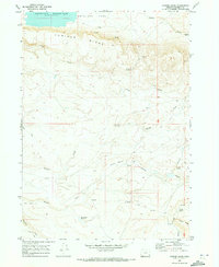
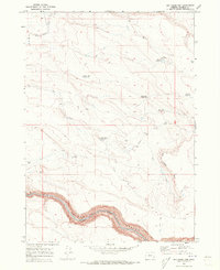
1969 · Juniper Ridge
USGS Topo · 1:24,000
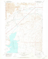
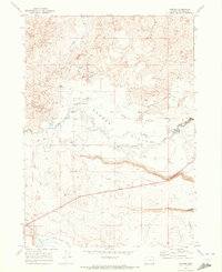
1969 · Antelope Reservoir
USGS Topo · 1:24,000
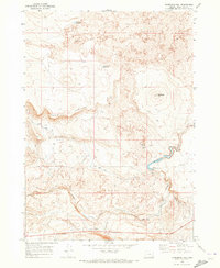
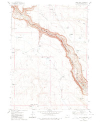
1969 · Threemile Hill
USGS Topo · 1:24,000
1969 · Dry Creek Rim
USGS Topo · 1:24,000
1969 · Danner
USGS Topo · 1:24,000
1980 · Skull Creek
USGS Topo · 1:24,000
1980 · Whitehorse Butte
USGS Topo · 1:24,000