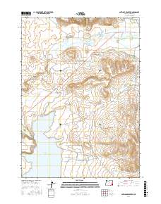
2017 Map of Antelope Reservoir
USGS Topo · Published 2017About this map
Antelope Reservoir dominates the southwestern landscape of this Malheur County high-desert region, serving as the terminus for a complex network of irrigation infrastructure including the Antelope Feeder Canal, Antelope Canal, and S Antelope Canal. The terrain is defined by the sharp descent into Jordan Creek Canyon and the broad expanses of Antelope Flat. Settlement patterns are concentrated near water sources and historical routes, with Jordan Valley located at the junction of the Jordan Cr and several livestock-era roads like Wroten Rd and Danner Rd. The map illustrates the vital role of water management in this arid environment, where streams such as Hooker Cr, Sheep Spring Cr, and Cantor Cr are channeled to support local ranching. This 2017 survey provides an exacting view of the modern rural infrastructure and natural drainage systems that have sustained the remote southeast Oregon borderlands for generations.
Find a feature on this map
28 named features on this map. Tap any name to fly to it.
Don’t see what you’re looking for? This feature index may not catch every label — zoom into the map to look around manually.
Map Details
Editions of this 2017 Antelope Reservoir Map
This is the sole edition of this map. No revisions or reprints were ever made.
Other maps of this area

1955 · Jordan Valley
USGS Topo · 1:250,000

1955 · Boise
USGS Topo · 1:250,000

1957 · Jordan Valley
USGS Topo · 1:250,000

1958 · Boise
USGS Topo · 1:250,000

1958 · Jordan Valley
USGS Topo · 1:250,000

1962 · Boise
USGS Topo · 1:250,000
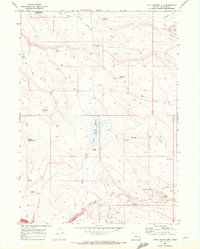
1969 · Little Grassy Mountain
USGS Topo · 1:24,000
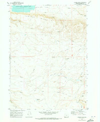
1969 · Juniper Ridge
USGS Topo · 1:24,000
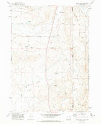
1969 · Hooker Creek
USGS Topo · 1:24,000

1969 · Cow Lakes
USGS Topo · 1:24,000