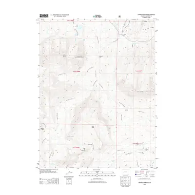
2013 Map of Anthracite Range
USGS Topo · Published 2013About this map
The high alpine country of the Gunnison National Forest is defined here by the towering peaks of the West Elk Mountains and the formidable Anthracite Range. This survey documents a landscape of dramatic verticality, where prominent geological features like The Dyke and East Beckwith Mountain rise above a network of drainages such as Ruby Anthracite Creek and Cliff Creek. Evidence of high-altitude ranching and summer grazing is preserved through landmarks like Castle Creek Cow Camp and Horse Ranch Park.
Find a feature on this map
83 named features on this map. Tap any name to fly to it.
Don’t see what you’re looking for? This feature index may not catch every label — zoom into the map to look around manually.
Map Details
Editions of this 2013 Anthracite Range Map
This is the sole edition of this map. No revisions or reprints were ever made.
Other maps of this area

1888 · Anthracite
USGS Topo · 1:62,500

1889 · Anthracite
USGS Topo · 1:62,500

1893 · Anthracite
USGS Topo · 1:62,500

1894 · Anthracite
USGS Topo · 1:62,500

1938 · Mt. Gunnison
USGS Topo · 1:48,000

1945 · Mount Gunnison
USGS Topo · 1:62,500

1956 · Montrose
USGS Topo · 1:250,000

1959 · Montrose
USGS Topo · 1:250,000

1960 · Montrose
USGS Topo · 1:250,000
1961 · Oh-Be-Joyful
USGS Topo · 1:24,000