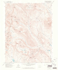
1961 Map of Oh-Be-Joyful
USGS Topo · Published 1964About this map
Ruby Range peaks and high-elevation basins define this high-country landscape in the early 1960s, where legacy mining operations sit alongside the early developments of mountain recreation. The settlements of Pittsburg and Elkton are surrounded by a high density of mineral claims, including the Pittsburg Mine, Augusta Mine, and Painter Boy Mine. The extraction history of the area is further evidenced by an Old Railroad Grade tracing the path of the Slate River toward the Smith Hill Mine.
Find a feature on this map
75 named features on this map. Tap any name to fly to it.
Don’t see what you’re looking for? This feature index may not catch every label — zoom into the map to look around manually.
Map Details
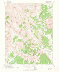
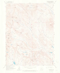
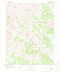
Editions of this 1961 Oh-Be-Joyful Map
5 editions found

Other maps of this area

1888 · Crested Butte
USGS Topo · 1:62,500

1888 · Anthracite
USGS Topo · 1:62,500

1889 · Crested Butte
USGS Topo · 1:62,500

1889 · Anthracite
USGS Topo · 1:62,500

1893 · Anthracite
USGS Topo · 1:62,500

1893 · Crested Butte
USGS Topo · 1:62,500

1893 · Aspen
USGS Topo · 1:62,500

1894 · Anthracite
USGS Topo · 1:62,500

1895 · Aspen
USGS Topo · 1:62,500

1909 · Mount Jackson
USGS Topo · 1:125,000