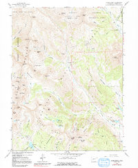
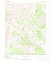
1961 Map of Oh-Be-Joyful
USGS Topo · Published 1991About this map
Elkton and Pittsburg represent the mining heritage of the West Elk Mountains as it stood in the early 1960s. This survey of the high-altitude terrain north of Crested Butte reveals a landscape defined by industrial extraction and extreme topography, where the Rugged Anthracite Range meets the drainages of the East River and Anthracite Creek. Evidence of prospecting is scattered across nearly every basin and gulch, from the Paradise Mine beneath Cinnamon Mountain to the Peanut Mine near the southern boundary.
Find a feature on this map
76 named features on this map. Tap any name to fly to it.
Don’t see what you’re looking for? This feature index may not catch every label — zoom into the map to look around manually.
Map Details
Editions of this 1961 Oh-Be-Joyful Map
5 editions found
Other maps of this area

1888 · Crested Butte
USGS Topo · 1:62,500

1888 · Anthracite
USGS Topo · 1:62,500

1889 · Crested Butte
USGS Topo · 1:62,500

1889 · Anthracite
USGS Topo · 1:62,500

1893 · Anthracite
USGS Topo · 1:62,500

1893 · Crested Butte
USGS Topo · 1:62,500

1893 · Aspen
USGS Topo · 1:62,500

1894 · Anthracite
USGS Topo · 1:62,500

1895 · Aspen
USGS Topo · 1:62,500

1909 · Mount Jackson
USGS Topo · 1:125,000