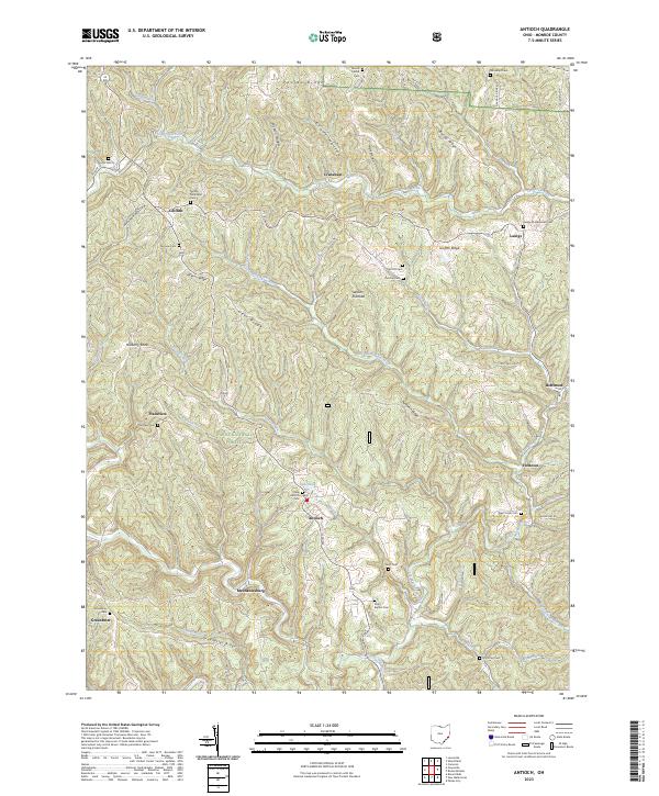
2023 Map of Antioch
USGS Topo · Published 2023About this map
The Little Muskingum River carves a winding path through the deeply dissected plateau of Monroe County, defining the rural character of this Appalachian landscape. Within the boundaries of the Wayne National Forest, small settlements like Antioch and Laings occupy the narrow valley floors and ridge tops, connected by a network of local routes such as Co Hwy 85. The map reveals a dense concentration of small, family-named burial grounds and rural churches, including the Moffett Methodist Cem and Unity Baptist Cem, which serve as vital markers for local genealogists.
Find a feature on this map
72 named features on this map. Tap any name to fly to it.
Don’t see what you’re looking for? This feature index may not catch every label — zoom into the map to look around manually.
Map Details
Editions of this 2023 Antioch Map
This is the sole edition of this map. No revisions or reprints were ever made.
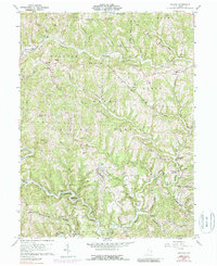
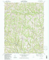
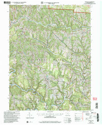
Historical Maps of Adams Township Through Time
4 maps found