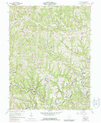
1960 Map of Antioch
USGS Topo · Published 1988About this map
Wayne National Forest lands cover significant portions of this Monroe County landscape, which is defined by the deep dissection of the Little Muskingum River and its numerous tributaries. The settlement of Antioch serves as a central point, with smaller communities like Mechanicsburg, Laings, and Greenbrier connected by winding ridge-top and valley roads. The 1960 field check, updated with 1972 aerial photography, preserves the locations of several rural landmarks essential to local history, including the Covered Bridge on the Little Muskingum and numerous country houses of worship such as Moffett Ch and Fletchers Chapel. Family names and local genealogy are reflected in the naming of several burial grounds, including the Old Otts Cem and Haythorn Cem. The terrain is characterized by prominent elevations like Mulberry Knob and the extensive Cranenest Ridge, illustrating the traditional Appalachian settlement patterns where homesteads follow the narrow creek valleys and protective ridges.
Find a feature on this map
65 named features on this map. Tap any name to fly to it.
Don’t see what you’re looking for? This feature index may not catch every label — zoom into the map to look around manually.
Map Details
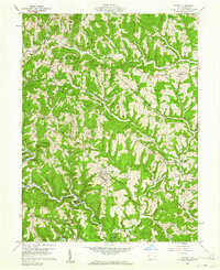
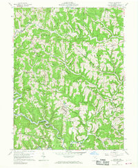
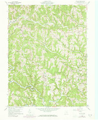
Editions of this 1960 Antioch Map
4 editions found
Other maps of this area

1905 · Clarington
USGS Topo · 1:62,500

1905 · New Matamoras
USGS Topo · 1:62,500

1905 · Woodsfield
USGS Topo · 1:62,500

1906 · New Martinsville
USGS Topo · 1:62,500

1924 · New Martinsville
USGS Topo · 1:62,500

1924 · New Matamoras
USGS Topo · 1:62,500

1926 · New Martinsville
USGS Topo · 1:62,500

1926 · New Matamoras
USGS Topo · 1:62,500

1935 · Clarington
USGS Topo · 1:62,500

1940 · Clarington
USGS Topo · 1:62,500