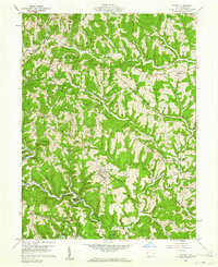
1960 Map of Antioch
USGS Topo · Published 1961About this map
Little Muskingum River meanders through the heart of Perry and Benton townships in this 1960s study of Monroe County. The landscape is defined by its deep ridge-and-hollow topography, where small settlements like Antioch and Mechanicsburg are situated along the valley floors and narrow benches. The southern portion of the Wayne National Forest covers much of the western terrain, preserving the densely wooded character of the region. Local genealogy is well-documented through numerous family and community landmarks, including the Old Otts Cem, Plainview Cem, and several rural sanctuaries such as Fletchers Chapel and Jackson Ridge Ch. The map captures the era's land use, showing a complex network of township roads connecting remote ridges like Paulas Ridge and Cranenest Ridge to small crossroads like Laings.
Find a feature on this map
54 named features on this map. Tap any name to fly to it.
Don’t see what you’re looking for? This feature index may not catch every label — zoom into the map to look around manually.
Map Details
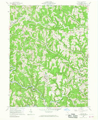
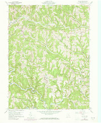
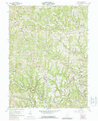
Editions of this 1960 Antioch Map
4 editions found
Other maps of this area

1905 · Clarington
USGS Topo · 1:62,500

1905 · New Matamoras
USGS Topo · 1:62,500

1905 · Woodsfield
USGS Topo · 1:62,500

1906 · New Martinsville
USGS Topo · 1:62,500

1924 · New Martinsville
USGS Topo · 1:62,500

1924 · New Matamoras
USGS Topo · 1:62,500

1926 · New Martinsville
USGS Topo · 1:62,500

1926 · New Matamoras
USGS Topo · 1:62,500

1935 · Clarington
USGS Topo · 1:62,500

1940 · Clarington
USGS Topo · 1:62,500