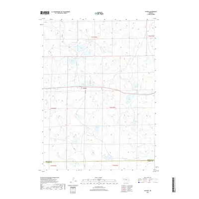
2017 Map of Antioch
USGS Topo · Published 2017About this map
Antioch sits at the heart of this Sheridan County landscape, where the Sandhills terrain is defined by an extensive network of alkaline lakes and seasonal wetlands. The map documents a unique hydrographic pattern, showing the concentration of water bodies like Potash Lake, Bower Lake, and Lily Lake that once supported a massive potash industry during the early twentieth century. These features, along with Palmer Lake and the meandering Snake Cr, illustrate the specialized topography of western Nebraska. Toward the southern border, the map marks the transition across the Sheridan Co Garden Co line. Local routes such as Rogers Ave and 405th Trl provide the primary access through this sparsely populated ranching country, connecting the isolated settlement of Antioch to the broader region.
Find a feature on this map
22 named features on this map. Tap any name to fly to it.
Don’t see what you’re looking for? This feature index may not catch every label — zoom into the map to look around manually.
Map Details
Editions of this 2017 Antioch Map
This is the sole edition of this map. No revisions or reprints were ever made.
Other maps of this area

1896 · Browns Creek
USGS Topo · 1:125,000

1899 · Browns Creek
USGS Topo · 1:125,000

1948 · Antioch
USGS Topo · 1:62,500

1948 · Lakeside
USGS Topo · 1:62,500

1949 · Mumper
USGS Topo · 1:62,500

1949 · Antioch
USGS Topo · 1:62,500

1950 · Storm Lake
USGS Topo · 1:62,500

1950 · Lakeside
USGS Topo · 1:62,500

1954 · Scottsbluff
USGS Topo · 1:250,000

1955 · Alliance
USGS Topo · 1:250,000