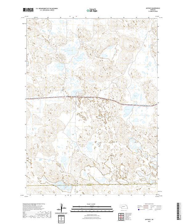
2021 Map of Antioch
USGS Topo · Published 2021About this map
Antioch serves as the central settlement in this Sheridan County landscape, situated along the east-west corridor of 1st St. This area of the Nebraska Sandhills is defined by a dense concentration of closed-basin lakes and intermittent water bodies, a signature of the local hydrology. Notable features include Potash Lake, which recalls the region's industrial history during the early 20th century when potash was extracted from these alkaline waters, alongside Wilson Lake, Bower Lake, and Lily Lake.
Find a feature on this map
23 named features on this map. Tap any name to fly to it.
Don’t see what you’re looking for? This feature index may not catch every label — zoom into the map to look around manually.
Map Details
Editions of this 2021 Antioch Map
This is the sole edition of this map. No revisions or reprints were ever made.
Other maps of this area

1896 · Browns Creek
USGS Topo · 1:125,000

1899 · Browns Creek
USGS Topo · 1:125,000

1948 · Antioch
USGS Topo · 1:62,500

1948 · Lakeside
USGS Topo · 1:62,500

1949 · Mumper
USGS Topo · 1:62,500

1949 · Antioch
USGS Topo · 1:62,500

1950 · Storm Lake
USGS Topo · 1:62,500

1950 · Lakeside
USGS Topo · 1:62,500

1954 · Scottsbluff
USGS Topo · 1:250,000

1955 · Alliance
USGS Topo · 1:250,000