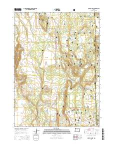
2014 Map of Antler Point
USGS Topo · Published 2014About this map
Bear Valley dominates the central landscape of this Klamath County terrain, where high-altitude meadows and flats define the character of the Fremont National Forest. In this 2014 survey, the geography is marked by an extensive network of water sources, from the isolated Lost Lake and Cronin Reservoir to dozens of named springs like Bug Spring and Rock Creek Springs. The area's reliance on managed water and forestry is evident in features such as Grohs Reservoir and the numerous forest development roads that crisscross the undulating land. From the heights of Antler Point to the broad expanse of Sorghum Flat and Johnson Meadow, the map documents a working wilderness where the boundary between Klamath and Lake counties runs through thick timber and grazing lands.
Find a feature on this map
43 named features on this map. Tap any name to fly to it.
Don’t see what you’re looking for? This feature index may not catch every label — zoom into the map to look around manually.
Map Details
Editions of this 2014 Antler Point Map
This is the sole edition of this map. No revisions or reprints were ever made.
Other maps of this area

1886 · Alturas
USGS Topo · 1:250,000

1886 · Modoc Lava Bed
USGS Topo · 1:250,000

1889 · Klamath
USGS Topo · 1:250,000

1892 · Modoc Lava-Bed
USGS Topo · 1:250,000

1892 · Alturas
USGS Topo · 1:250,000

1894 · Klamath
USGS Topo · 1:250,000

1951 · Clear Lake Reservoir
USGS Topo · 1:62,500

1954 · Alturas
USGS Topo · 1:250,000

1955 · Klamath Falls
USGS Topo · 1:250,000

1958 · Alturas
USGS Topo · 1:250,000