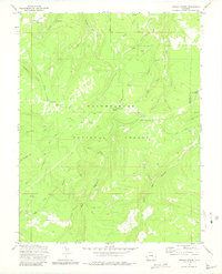
1973 Map of Antone Spring
USGS Topo · Published 1980About this map
The Uncompahgre National Forest spans this high-elevation landscape in western Colorado, where a network of seasonal work sites and recreation areas defined the local economy during the 1970s. Remote cattle operations such as Gray Cow Camp and Lazy Y Cow Camp are positioned near Antone Spring and Spruce Creek, illustrating the historical reliance on natural water sources for mountain ranching. The terrain is deeply incised by drainages like Red Canyon and Roubideau Creek, while the Tabeguache Divide provides a natural ridgeline for travel. This sheet documents a specific era of forest management where traditional routes like the Roubideau (Pack) Trail and newer motorized paths such as the Transfer Road intersect, serving both the timber and livestock industries as well as early backcountry tourists at the Antone Campground.
Find a feature on this map
45 named features on this map. Tap any name to fly to it.
Don’t see what you’re looking for? This feature index may not catch every label — zoom into the map to look around manually.
Map Details
Editions of this 1973 Antone Spring Map
2 editions found
Other maps of this area

1956 · Moab
USGS Topo · 1:250,000

1959 · Moab
USGS Topo · 1:250,000

1960 · Moab
USGS Topo · 1:250,000

1962 · Moab
USGS Topo · 1:250,000

1964 · Moab
USGS Topo · 1:250,000
1964 · Norwood
USGS Topo · 1:24,000

1965 · Moab
USGS Topo · 1:250,000
1967 · Hotchkiss Reservoir
USGS Topo · 1:24,000
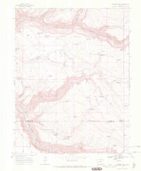
1967 · Sanborn Park
USGS Topo · 1:24,000
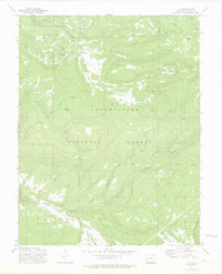
1973 · Ute
USGS Topo · 1:24,000