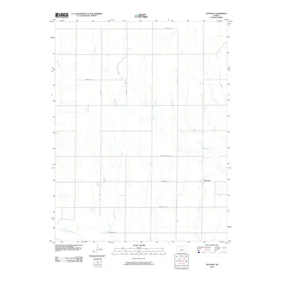
2009 Map of Antonino
USGS Topo · Published 2009About this map
Antonino sits at the heart of this Ellis County landscape, a community defined by a grid of section roads and the winding path of the Smoky Hill River across its southern reaches. The 2009 terrain reflects the enduring intersection of agriculture and energy, most notably at the Irvin Oil Field located in the northwest. This section of Kansas history is further anchored by a network of thoroughfares that mirror older paths across the plains, including Butterfield Trail Rd and Victoria Rd. These roads link isolated farmsteads and rural infrastructure, while Grants Villa Rd and Antonino Rd provide the primary east-west corridors through the high plains topography, illustrating the organized settlement pattern of the region in the early 21st century.
Find a feature on this map
13 named features on this map. Tap any name to fly to it.
Don’t see what you’re looking for? This feature index may not catch every label — zoom into the map to look around manually.
Map Details
Editions of this 2009 Antonino Map
This is the sole edition of this map. No revisions or reprints were ever made.
Other maps of this area
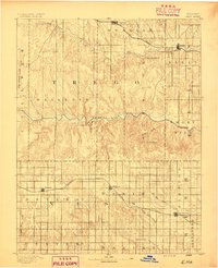
1893 · Ellis
USGS Topo · 1:125,000
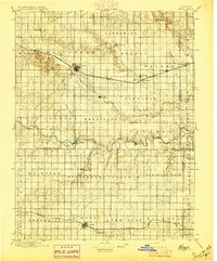
1896 · Hays
USGS Topo · 1:125,000

1955 · Great Bend
USGS Topo · 1:250,000

1957 · Great Bend
USGS Topo · 1:250,000

1958 · Great Bend
USGS Topo · 1:250,000
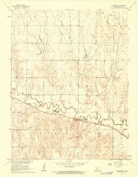
1961 · Yocemento
USGS Topo · 1:24,000
1961 · Hays South
USGS Topo · 1:24,000
1961 · Hays North
USGS Topo · 1:24,000
1961 · Antonino
USGS Topo · 1:24,000
1961 · Ellis
USGS Topo · 1:24,000