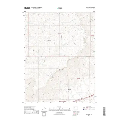
2019 Map of Anvil Points
USGS Topo · Published 2019About this map
Roan Plateau dominates this Garfield County landscape, where deep drainages and sharp ridges define the high country north of the Colorado River corridor. The map highlights the prominent Anvil Points, featuring both East Anvil Point and West Anvil Point, which overlook the expansive Webster Mesa. This area is characterized by a dense network of water-carved gulches, including First Water Gulch, Second Water Gulch, and Third Water Gulch, all flowing south toward the lower valley. Local movement through this difficult terrain is traced via the JQS Trl and Co Rd 246. Further north, the land levels into high-altitude clearings such as Goodrich Park and Horse Park, while the northernmost reaches are drained by Northwater Cr. The map preserves the specific nomenclature of the region's complex geography, from Cottonwood Point in the southwest to the heights of Long Ridge.
Find a feature on this map
43 named features on this map. Tap any name to fly to it.
Don’t see what you’re looking for? This feature index may not catch every label — zoom into the map to look around manually.
Map Details
Editions of this 2019 Anvil Points Map
This is the sole edition of this map. No revisions or reprints were ever made.
Other maps of this area

1906 · Grand Hogback
USGS Topo · 1:125,000

1910 · Grand Hogback
USGS Topo · 1:125,000

1925 · Parachute Creek
USGS Topo · 1:62,500

1927 · Parachute Creek
USGS Topo · 1:62,500

1929 · Grand Valley
USGS Topo · 1:62,500

1952 · Rio Blanco
USGS Topo · 1:24,000

1952 · Anvil Points
USGS Topo · 1:24,000

1952 · Horse Mountain
USGS Topo · 1:24,000

1952 · Rifle
USGS Topo · 1:24,000

1956 · Grand Junction
USGS Topo · 1:250,000