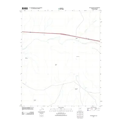
2011 Map of Apache Butte
USGS Topo · Published 2011About this map
The Little Colorado River winds through this high desert portion of Navajo County, creating a distinct riparian corridor amidst the surrounding arid terrain. Near the center of the sheet, the prominent landmark of Apache Butte rises above the landscape, serving as a primary navigational point for the region. The small settlement of Manila is situated along the corridor established by Jack Rabbit Rd, reflecting the modern transportation patterns that parallel the river's path.
Find a feature on this map
12 named features on this map. Tap any name to fly to it.
Don’t see what you’re looking for? This feature index may not catch every label — zoom into the map to look around manually.
Map Details
Editions of this 2011 Apache Butte Map
This is the sole edition of this map. No revisions or reprints were ever made.
Other maps of this area

1883 · Tusayan
USGS Topo · 1:250,000

1886 · Tusayan
USGS Topo · 1:250,000

1886 · Holbrook
USGS Topo · 1:250,000

1893 · Holbrook
USGS Topo · 1:250,000

1947 · Flagstaff
USGS Topo · 1:250,000

1954 · Winslow
USGS Topo · 1:62,500

1954 · Winslow 4 SE
USGS Topo · 1:24,000

1954 · Flagstaff
USGS Topo · 1:250,000

1954 · Holbrook
USGS Topo · 1:250,000

1955 · Mal Pais Springs 3 SW
USGS Topo · 1:24,000