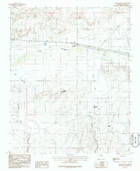
1986 Map of Apache Butte
USGS Topo · Published 1986About this map
Little Colorado River winds through this arid landscape in the mid-1980s, carving a path alongside the small settlement of Jackrabbit. This provisional survey illustrates the relationship between the seasonal watercourses and the livestock-reliant topography of Navajo County. The river corridor is flanked by broad sandy banks and the nearby Manila Wash, while the terrain to the south rises toward the distinctive volcanic profile of Apache Butte.
Find a feature on this map
11 named features on this map. Tap any name to fly to it.
Don’t see what you’re looking for? This feature index may not catch every label — zoom into the map to look around manually.
Map Details
Editions of this 1986 Apache Butte Map
This is the sole edition of this map. No revisions or reprints were ever made.
Other maps of this area

1883 · Tusayan
USGS Topo · 1:250,000

1886 · Tusayan
USGS Topo · 1:250,000

1886 · Holbrook
USGS Topo · 1:250,000

1893 · Holbrook
USGS Topo · 1:250,000

1947 · Flagstaff
USGS Topo · 1:250,000

1954 · Winslow
USGS Topo · 1:62,500

1954 · Winslow 4 SE
USGS Topo · 1:24,000

1954 · Flagstaff
USGS Topo · 1:250,000

1954 · Holbrook
USGS Topo · 1:250,000

1955 · Mal Pais Springs 3 SW
USGS Topo · 1:24,000